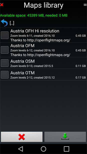
OFM Tiles available in “Fly is fun” (Android Application)
")
All active OFM regions have been implemented for usage with this very feature rich application.
Features
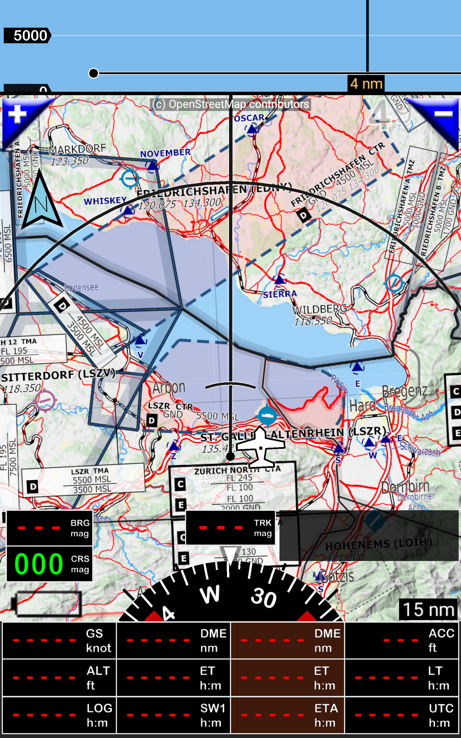
FLY is FUN is a moving map for aviation and pilots providing ILS and GPS approach, VOR, NDB, DME, Marker beacons, RNAV navigation and Marker beacons warnings, without ILS/VOR/NDB/RNAV equipment on board.
FLY is FUN allows:
– Displaying route, bearing, trace on moving map;
– Displaying more than 80 values
– Visualizing airspace;
– Creating and modifying routes with “drag and drop”, “rubber band” , or with the database;
– Importing, exporting routes, waypoints, RWY (Garmin .gpx, .kml, txt);
– Performing route planning, evaluating distance, time and fuel consumption (depending on wind and aircraft characteristics);
– Recording the flight and playing it back with Google Earth;
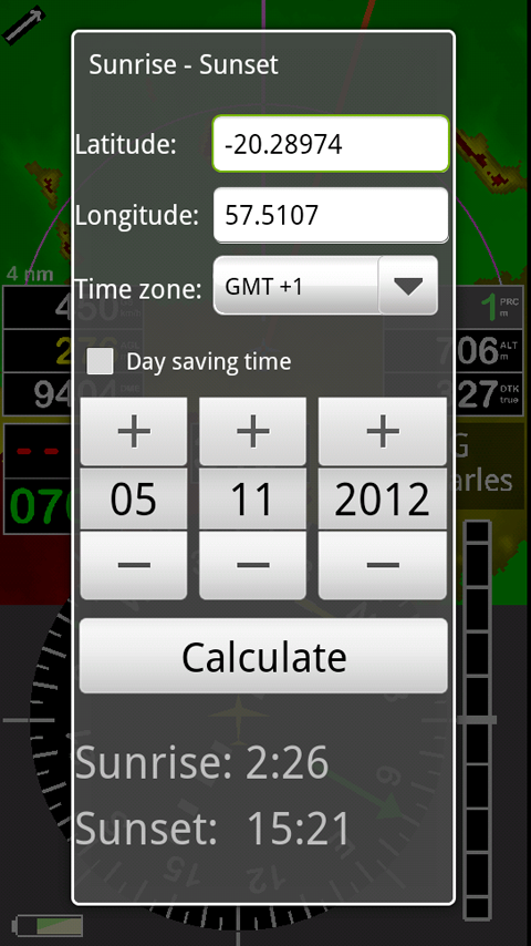
– Calculating Sunset / Sunrise;
– Getting weather forecast along the route;
– Getting warnings, alarms and message before entering controlled or special use airspaces, approaching waypoints or specific points;
– Creating or importing airspace (Google Earth or Open air files);
– Getting dynamic terrain map (colors depending of elevation above ground level),
– 4 landscape and 4 portrait screens
– And many more…
The Application is available for Android in the google-play store

Have a look at this screenshots: